Overview
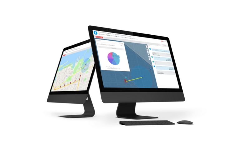
RadiusPlus provides best-in-class mapping that optimizes the contextual and informational view of a location, within seconds, by integrating the most trusted and diversified data in the industry.
- Find callers quickly
Automatically display ALI/ANI location and supplemental location data side-by-side, helping you determine incident location and track callers in motion. Everything is integrated with your 9-1-1 phone system, with no need to manually enter a number.
- Locate what you need
Perform searches for addresses, points of interest, and place names in addition to all common geodetic formats such as latitude, longitude, altitude, what3words and Google plus codes.
- Understand the situation at a glance
Arm Telecommunicators and First Responders with additional situational awareness tools such as real-time traffic and incident data from TomTom and Waze, as well as real-time weather data from DarkSky.
Details
Supplemental Caller Handset Location
ANI/ALI Integration
Deep Esri/ArcGIS Integration
Works alongside any legacy CAD and Call Handling System
Two-way SMS with Language Identification and Translation
Live On-scene Video Streaming
Images
End users are viewing your products!
Make sure they have all the information they need.
If you own this product, sign in to complete this sectionVideos

Sorry, you must be logged in to view the rest of this page
Please log in or create an account to view more details.
Log in or Sign UpCustomers and Partners
Sorry, you must be logged in to view the rest of this page
Please log in or create an account to view more details.
Log in or Sign UpDocuments
Sorry, you must be logged in to view the rest of this page
Please log in or create an account to view more details.
Log in or Sign UpExpert Analysis
Sorry, you must be logged in to view the rest of this page
Please log in or create an account to view more details.
Log in or Sign UpExpert Analysis
When someone calls 9-1-1, it typically means something has gone terribly wrong. The caller – whether for themselves, a loved one or a stranger – can’t always articulate their location or vital details of the situation. That’s why we lean on technology to help us operate at our best and deliver the potentially life-saving services Kansans count on.
- Scott Ekberg , DirectorKansas 911 Coordinating Council