Overview
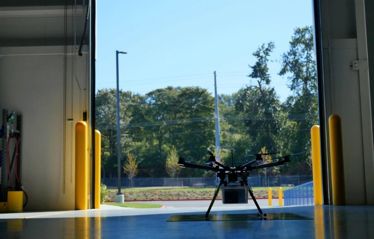
The air above us holds enormous potential, and intelligent drone management creates significant commercial and human advantages.
Elevated airspace tools.
Revolutionize the way you manage UAS airspace with intuitive tools that speed up response times, improve safety, and create economies.
A higher level of protection.
Secure your assets and protect your people with military-grade intelligence, surveillance, and reconnaissance solutions.
Create opportunities from thin air.
Innovate your category and create competitive advantages by commercializing your business in new ways.
Manage, protect, and innovate with agile airspace tools.
AirMap is a global leader in airspace management software systems for drones. We help regional and national airspace authorities operate safely and efficiently. We help the defense sector and public agencies use drone solutions to keep people safe. We also work with forward-thinking enterprises to innovate new commercial opportunities.
Would you like to…
- Manage your Airspace
Whether you’re an operator seeking flight permission, an ANSP establishing airspace rulesets, or an enterprise looking for beyond visual line-of-sight inspection solutions, AirMap provides an unrivaled level of airspace intelligence and control.
- Protect your Airspace
Public safety, defense, and emergency response agencies rely on AirMap for UTM software solutions that help keep first responders, soldiers, and the general public safe. Our forward-thinking airspace services and tools power intelligence, surveillance, and reconnaissance initiatives across the globe.
- Innovate with Airspace
Access a world of data and digital integrations to design, build, and customize your own UAS airspace apps. With easy-to-use APIs including weather, elevation, and telemetry, AirMap unlocks aerial intelligence and extraordinary innovation.
Details
Contextual Airspace
Rules-based advisories and airspace information for compliance assurance amid ever-changing airspace conditions
Digital Notification
Inform airspace managers directly of drone operations via digital notification.
Digital Authorization
Receive instant and automated airspace authorization directly from authorities
Traffic Alerts
Real-time traffic feed of nearby manned and unmanned aircraft that pose a risk to a
drone’s intended flight path
Weather & Wind
Provide users with real-time conditions for safer flight planning.
Airspace Management
Real-time situational awareness from an easy-to-use dashboard
Images
Videos

Sorry, you must be logged in to view the rest of this page
Please log in or create an account to view more details.
Log in or Sign UpCustomers and Partners
Documents

Sorry, you must be logged in to view the rest of this page
Please log in or create an account to view more details.
Log in or Sign UpExpert Analysis

Sorry, you must be logged in to view the rest of this page
Please log in or create an account to view more details.
Log in or Sign Up
