Overview
We solve the last mile problem so you don’t have to. With the fastest dynamic route planning solution and second to none computing power, we help you stay compliant and drive efficient results.
Beans Route helps you with
- Time sheets & scheduling
Scheduling and time cards to run your 7 day operation
- Geofenced clock in/ out
- Hide routes until clock in
- Manage time off requests
- VEDR
Lytx VEDR fully integrated into Beans Route
- Automated KI compliance
- Event auto-assignment
- Device health
- Real time insight into events
- Safety
Safety training through Fleet Response
- See driver status (passing/ failing)
- Scores, attempts
- Send notifications to drivers failing safety training to get them back on track
- Analytics & Reporting
Business intelligence reports to show your live, historical and predictive operations
- Profitability per delivery
- Efficiency predictions
- Enhanced driver profiles
- Fleet maintenance
Easy to use and integrated solution to complete your periodic Fleet inspections
- Maintenance schedules and tracking
- Ready to upload MMRs
- Comprehensive Pre and post-trip inspections
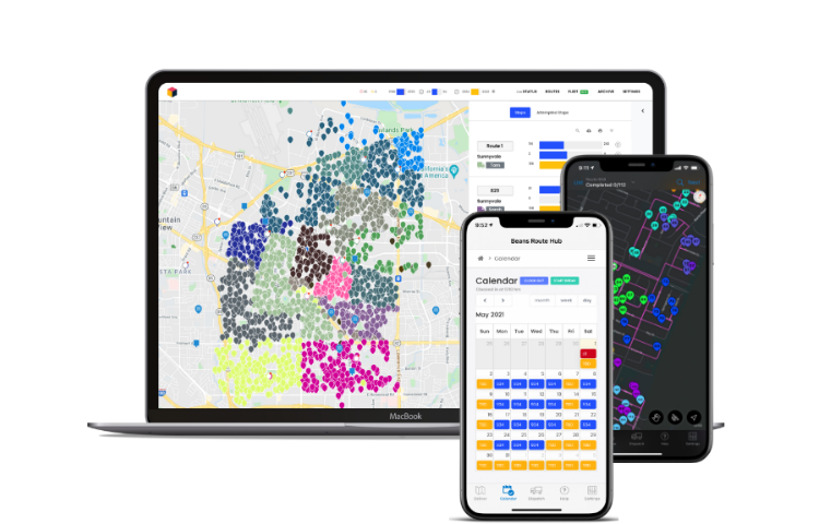
- Dynamic Route Planning
Powerful route planning tool to optimize your work areas and routes
- Route planning based on actual volumes
- Dynamic constraints including vehicle capacity
- Interleave fixed and on-demand stops
- Route Planning & Optimization
World class optimization to assist with DRO issues
- FCC or let Beans Route take the wheel
- Ingest no-van scan reports
- Move stops to collapse routes
- Beans Route driver application
Easy to use app which runs on IOS or Android
- Stops colored by SID
- Package scanning
- Customizable settings
- Drop pins and make notes for the next driver
- Supercharge your operations with the Dispatcher Tool
Make any changes you need on the fly
- Proof of Delivery
- Ability to ingest maps and gate codes
- Move delivery pins
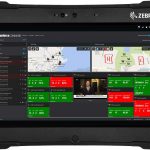
- Real-time route progress & status
Government & Public Safety
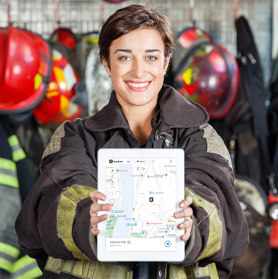
Reduce response times with advanced geographic data
Waypoints that identify complex points of interest so responders don’t miss a beat
Arrive on scene faster than ever before
When every minute counts, inaccurate or incomplete geospatial data is unacceptable. That’s why we take emergency personnel within 10 feet of their destination.
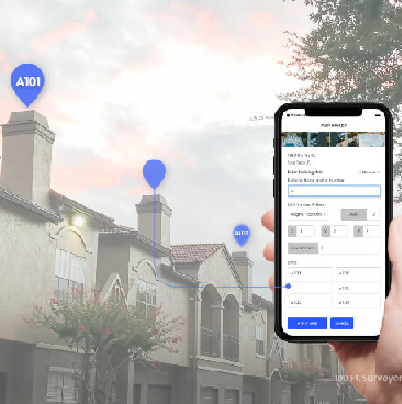
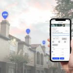
Quickly locate obscure addresses, like apartment units or college dorms, through a series of coherent waypoints. Pins reveal entrances, private roads, entryways, elevators, stairs, unit numbers, knox boxes, hydrant locations, shutoff valves and other crucial points of interest.
Key Benefits
- Fill in missing gaps of data on your current navigation software with our API
- Significantly reduce response times
- Direct responders straight to the correct doorstep with waypoints
- Eliminate navigational confusion to keep responders calm and focused upon arrival
Micro-route responders straight to complex points of interest
Provide the missing data first responders need in order to cut down critical minutes. Direct emergency personnel straight to knox boxes, stairways, hydrants, unit numbers, and other pivotal locations with pinpoint accuracy. Our data easily integrates into any first responder system: 911 System, CAD, Incident Response System, Emergency Alert System, and more.
- Helps reduce emergency response time to save critical minutes.
- Direct first responders to the correct entrance where incident has occured
- Eliminates having to go through a series of sequential waypoints
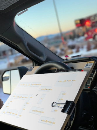
Generate accurate pre-plans with speed and precision
Across the US, first responders trust Map Maker, an advanced GIS tool with micro-tagging capabilities, to draw and maintain their incident pre-plans. Map Maker empowers responders to create digital data to mark the precise locations of unit numbers, fire hydrants, knox boxes, shut-off valves, handicapped entrances, and other points of interest. Map Maker allows responders to:
- Enter data on your smartphone or tablet
- Share mapped data to entire department
- Access digital pre-plans en route or on the scene
Add pinpoint location data to your current GPS system
Our data can be added onto any First Responder dispatching solution, like CAD and 911 System. Within days, our data can be integrated into your system through simple API. The integration details previously unmapped locations, like apartment units and specific areas within nursing homes.
- Simple API integration that’s easy to use
- Geographic coordinates for complex POIs
- Waypoints displayed on current navigation system
Details
Improved Time Management
Dispatching
Leaner Workforce
Operations
Highlighted Inefficiencies
Improved Delivery And Pickup Rates
Live Employee Tracking
Up-To-The-Second Stats
Real-Time Notifications
Images
Videos

Sorry, you must be logged in to view the rest of this page
Please log in or create an account to view more details.
Log in or Sign UpCustomers and Partners
Documents

Sorry, you must be logged in to view the rest of this page
Please log in or create an account to view more details.
Log in or Sign UpExpert Analysis

Sorry, you must be logged in to view the rest of this page
Please log in or create an account to view more details.
Log in or Sign Up
