Overview
Situational intelligence in one, centralized platform
NEW TECHNOLOGY
Information sharing for public safety
Government agencies at all levels currently rely on legacy geospatial tools that require support from specialized experts. These tools are not built to be collaborative: they are not accessible from mobile devices, and lack integration with agencies’ data compliance and authorization flows.
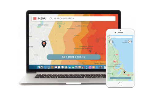
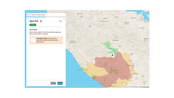
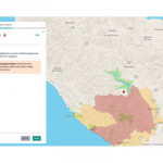
Perimeter joins the power of geospatial data with the freedom of the internet and the ease-of-use of mobile technologies. Our platform allows first responders to collect, input and share information in real-time, with a simple, intuitive interface. Citizens can then view this information on an interactive map, and select any incident for additional information.
By allowing first responders and citizens to access the benefits of real-time situational intelligence and collaboration, Perimeter is poised to become the standard mapping platform for all emergency operations: protection, prevention, mitigation, response, and recovery.
EVACUATION SUPPORT
Allowing citizens to take evacuation efforts into their own hands
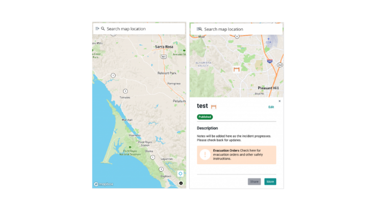
The core features of the Perimeter application are integrated with a map interface, allowing citizens to easily navigate hazards and stay safe as an incident progresses. Our app provides a centralized platform for citizens to track evacuation notices, identify recommended evacuation routes, and receive notifications directly from first responders.
The application is also built to integrate with other social media and routing applications, making it easy to take action or spread the word about an incident as it develops.
Details
Collaborative data sharing
First responders can input, share and publish relevant incident data, which is then disseminated to other first responders and citizens. This allows them to immediately view new incident updates and contribute additional details.
Personnel management
The platform allows decision makers to designate proper authorization, as well as dynamically assign groups and roles to first responders. Decision makers can also track the locations of resources, equipment, or other first responders in real time.
Offline capabilities
A large set of features work under low or no internet connection. Additionally, the application automatically stores new incident updates while online for users to easily access later.
Images
Videos

Sorry, you must be logged in to view the rest of this page
Please log in or create an account to view more details.
Log in or Sign UpCustomers and Partners
Documents

Sorry, you must be logged in to view the rest of this page
Please log in or create an account to view more details.
Log in or Sign UpExpert Analysis

Sorry, you must be logged in to view the rest of this page
Please log in or create an account to view more details.
Log in or Sign Up

