Overview
Designed by Public Safety for Public Safety
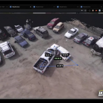
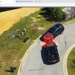
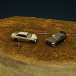
SkyeBrowse is the brainchild of multiple research projects at Rutgers University funded by state and federal agencies. The research allowed the founding team to create the concept and IP behind SkyeBrowse. The secret sauce behind SkyeBrowse is videogrammetry, where we use 1 video instead of hundreds pictures to create a 3D model. Instead of taking hours to capture the data for a 3D model, SkyeBrowse simplifies it with 1 video in under 5 minutes. This allows departments to make a 3D model with one tap, which is the driving force behind tactical situational awareness.
Our Mission
We have accepted the inefficiency of emergency response as a reality. 50 years ago, departments used measuring tapes to document scenes in 5 hours. 10 years ago, departments used laser scanners and cameras to document the scene in 5 hours. Drones have come into play and departments are able to document the scene in 1 hour with extensive training. With SkyeBrowse, all the evidence is collected in under 5 minutes with no training.
Emergency response is a tedious and dangerous process. It costs millions of hours of traffic and way too many public safety lives. SkyeBrowse was founded with one mission in mind — be it HAZMAT, SWAT, accident reconstruction, natural disasters, or structure fires — to be the force multiplier that simplifies emergency response.
Details
Overall technical highlights:
• CJIS Compliant
• Works with all DJI drones, except for spark, mavic mini, and mavic air 2
• Point clouds exported in open source GIS format
• Night Ops AI
• Generate one second reports
• Models can be shared but not deleted
• Models can be downloaded for offline investigation
• Ability to take multiple flights without a break
• Easily upload videos from your laptop through the SD card after your flights
• App uses keychain functionality to store credentials
• Back-end connections use SSL to maintain security
Basic functions iOS app:
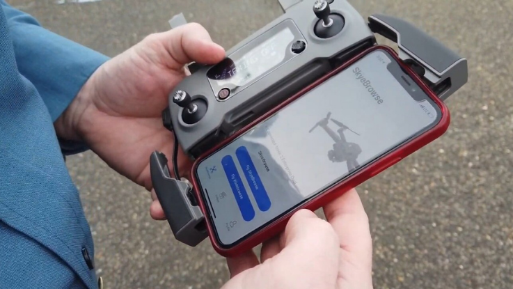
• Login (Easy Sign in)Automatically detects drone connection and does not allow you to operate without a proper connection
• Simple Interface showing only two options, SkyeBrowse and WideBrowse (SkyeBrowse for orbits and WideBrowse for larger maps)
• Create multiple SkyeBrowse scans one after another without any delay in between
• App automatically calibrates your cameras for optimal 3D modeling once you open it
• Automated flight paths
• Afterwards you can upload videos directly from the mobile or via SD Card upload
• For WideBrowse: Simply select the map that you want to scanUse different units for measuring (ft / metres)
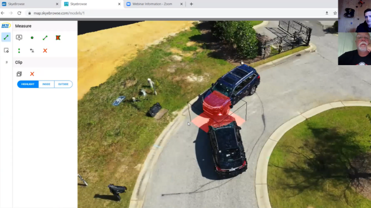
• 3D model web viewer provides Area Measurement
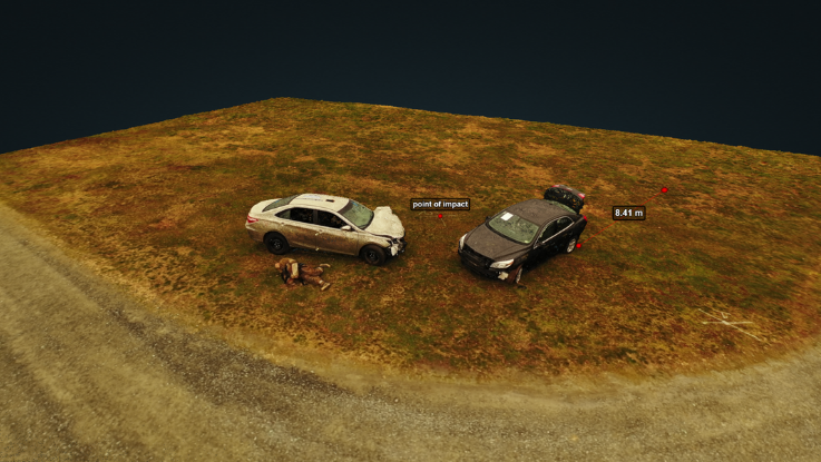
• 3D model web viewer provides Distance Measurement
• 3D model web viewer provides Height Measurement
• Find a point with GPS location
• Ability to Add Annotation and Labels in the model
Next features (Roadmap):
• Live streaming
• More drone support
Images
Videos

Sorry, you must be logged in to view the rest of this page
Please log in or create an account to view more details.
Log in or Sign UpCustomers and Partners
Documents

Sorry, you must be logged in to view the rest of this page
Please log in or create an account to view more details.
Log in or Sign UpExpert Analysis

Sorry, you must be logged in to view the rest of this page
Please log in or create an account to view more details.
Log in or Sign Up


