Overview
Details
Map Available Resources
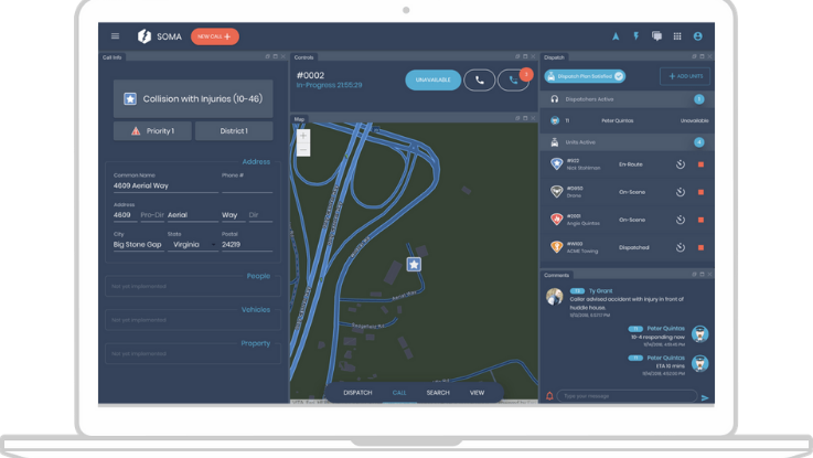
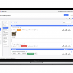
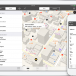
Dispatch Maps shows you the resources available to respond and reports estimated drive time for assigned units and units within proximity. Our solution makes smart suggestions considering all data available – proximity, drive time, and fully customizable jurisdictional and agency dispatch plans.
Multiple Map Views
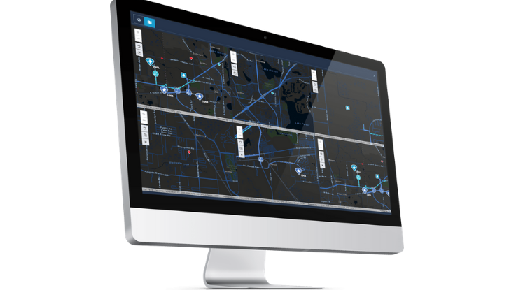
Multiple Map Views (MMV) provide the call taker/dispatcher multiple, separate views of the incident location, units on scene, units in route, and units available. End users can drill down to center of incident or see a birds-eye view of incident.
Automatic Vehicle Locator
Automatic Vehicle Locator (AVL) tracks public safety vehicles within your jurisdiction and also handles multi- jurisdiction tracking. Dispatch Maps AVL gives drive distance and time for all units dispatched to scene plus any units located within proximity of the incident.
Images
Videos

Sorry, you must be logged in to view the rest of this page
Please log in or create an account to view more details.
Log in or Sign UpCustomers and Partners
Documents

Sorry, you must be logged in to view the rest of this page
Please log in or create an account to view more details.
Log in or Sign UpExpert Analysis

Sorry, you must be logged in to view the rest of this page
Please log in or create an account to view more details.
Log in or Sign Up
